
Prepared for todayProtected for tomorrow
To help small islands thrive
in a changing climate.
We bring local knowledge and AI together to turn complex information into practical tools.

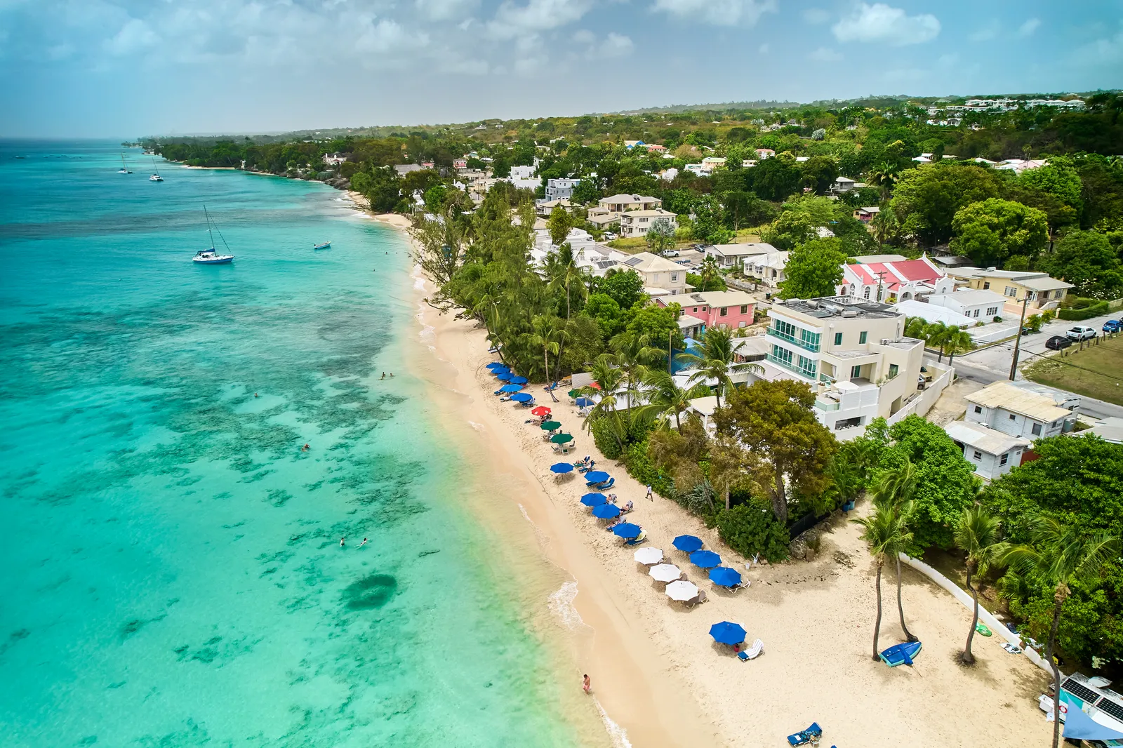
 Our beaches, today.
Our shoreline, over time.
Get Shorey
Get useful coastal information, share what you see, and help build a record of our changing shoreline.
Starting with Miami Beach and Brownes Beach, Barbados.
Behind the simplicity
Local observations. Official sources. AI-assisted analysis. We’re bringing them together to make coastal information easier to understand and use.
People make the record.
Community photos can add local context and build a dated shoreline record. Consistent viewpoints and careful review will help make that record more useful over time.
AI helps us understand it.
We plan to use AI to help organise observations and interpret coastal images. Outputs will need review, and any future research use will require suitable methods and validation.
Photos describe visible conditions; they do not certify swimming safety or water quality. NVIDIA Inception membership is not an endorsement.
Why small islands need better climate informationOur wider mission
Stronger before the storm.
Shorey starts at the coast. Our wider ambition is to help island communities prepare for storms, flooding and disruption with local knowledge and useful information.
Future direction · Shorey is not an emergency alert service.
Build with us